Wind gusts during the storm topped out between 35 and 45 miles per hour with localized higher gusts reported along the coast.
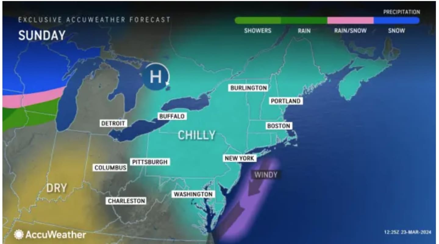
It will continue to be breezy on Sunday, March 24, leading to morning wind-chill values in the teens and 20s.
Temperatures will reach the lower and middle 40s later in the day Sunday, "but when you factor in a north wind gusting to 25 mph at times it will feel no warmer than the middle and upper 30s," according to the National Weather Service.
It will remain breezy on Monday, March 25 with mostly sunny skies with a high temperature in the upper 40s to around 50 degrees.
Clouds will increase on Tuesday, March 26 with a high temperature again around 50 degrees.
Wednesday, March 27 will be mostly cloudy with a chance of rain as a new storm system develops. The high temperature will be in the low 50s.
Rain will become likely Wednesday night as the storm moves in, and continue into Thursday, March 28, with precipitation expected at times both during the day and at night.
Check back to Daily Voice for updates.
Click here to follow Daily Voice Darien and receive free news updates.